
-

5 surprising places the Vikings reached
Despite their historical reputation as producing some of the most ravenous warriors of the early medieval period, people from Viking societies were also skilled explorers. They traversed much of the Northern Hemisphere, from the shores of modern-day Canada to the eastern edge of the Caspian Sea.1 year ago — History -
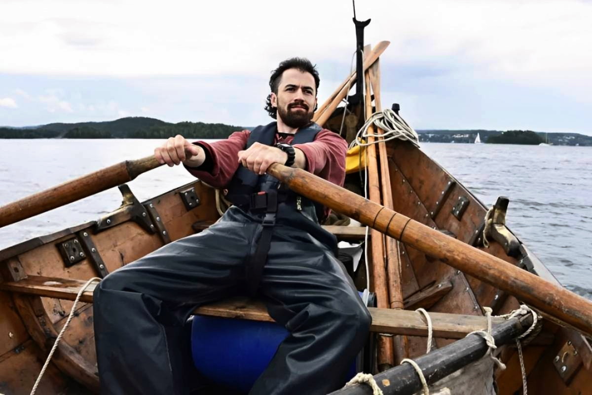
Viking seafaring in the 21st century: Greer Jarrett's experimental voyages
British-born archeologist Greer Jarrett has sailed thousands of miles in clinker-built boats as he strives to understand the true path of Viking Age seafarers. In this in-depth interview, he shares his discoveries with The Viking Herald.1 year ago — News -
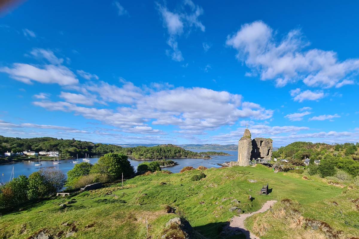
Investigating the Viking navigation of Western Scotland
The Norse and the Sea project is looking at how Scandinavian adventurers navigated the coasts and waterways of Scotland.1 year ago — News -

Who was Hastein, the Viking chief who attacked the wrong Mediterranean city?
Centuries before Google Maps made navigation child's play, the Vikings used little more than rudimentary navigational instruments to traverse much of the Western Hemisphere.2 years ago — History -

Vegsvísir: Viking compass or modern invention?
The Vegsvísir is said to be a Viking symbol that brings good luck and prevents getting lost. Yet there is little historical evidence of it before the 19th century. Was this really just a modern invention gaining popularity with the renewed interest in Viking history over the past two centuries?4 years ago — Culture and religion -

How did the Vikings navigate?
Long before a compass or naval maps were used in Europe, the Vikings set about sailing the high seas from modern-day Canada to Constantinople.4 years ago — Culture and religion
